Ground Penetrating Radar (GPR) Explained

What is it, why is it important, and how Easy Radar USA can help you achieve it!

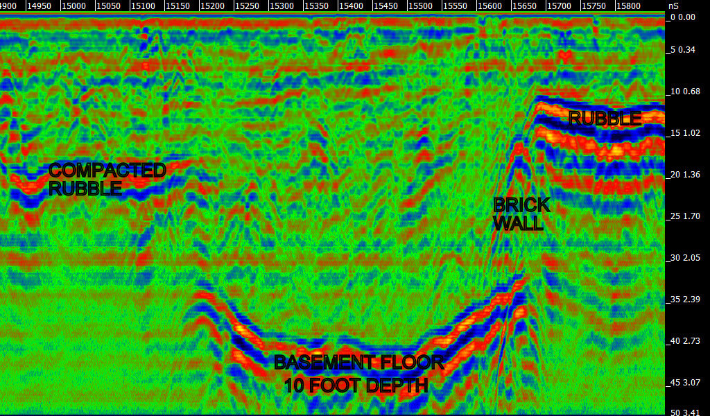
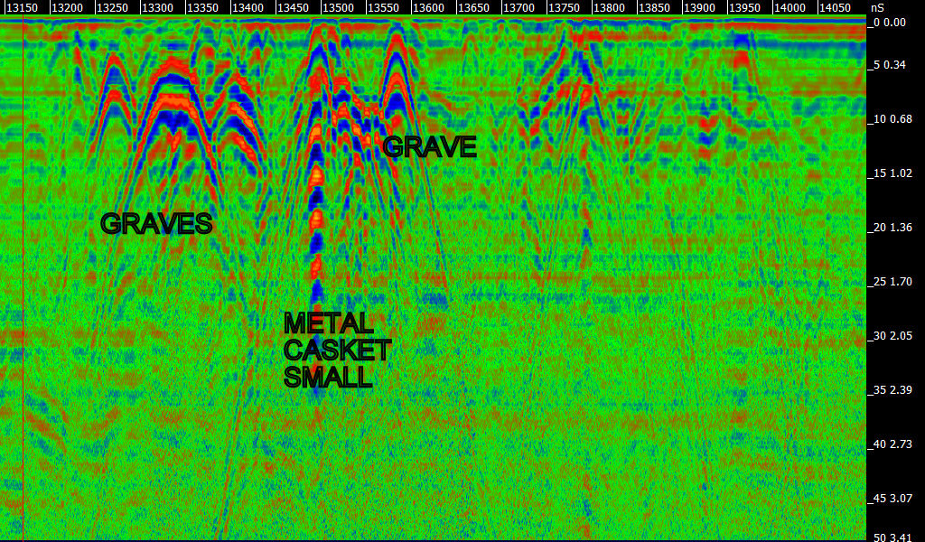
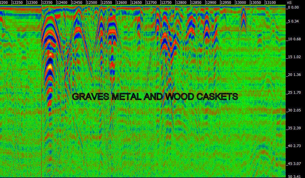
GPR is a non-invasive geophysical method that uses radar pulses to image the subsurface. It works by sending high-frequency electromagnetic waves into the ground. When these waves encounter different materials—such as soil, rock, metal, or voids—they reflect back to the surface, where sensors on the GPR unit record the signals.

The result is a visual representation (often a 2D or 3D cross-section) of what lies beneath the ground, without the need for digging or drilling. GPR is like giving you “X-ray vision” into the ground – making it indispensable for safety, research, and planning.

How GPR Works in the Field

This nondestructive method uses electromagnetic radiation in the very high, ultra high and microwave frequencies of the radio spectrum, and detects the reflected signals from subsurface structures. GPR can have applications in a variety of media, including rock, soil, ice, fresh water, pavements and structures.

The concept of radar is familiar to most people. With ground penetrating radar, the radar signal – an electromagnetic pulse – is directed into the ground. Subsurface objects and stratigraphy (layering) will cause reflections that are picked up by a receiver. The travel time of the reflected signal indicates the depth. Data may be plotted as profiles, as maps isolating specific depths, or as three-dimensional models.

GPR Applications

The power of GPR gives you flexibly options in areas that typically were not cost-effective or feasible in their application… until now. From military uses to utility inspection, GPR provides a non-invasive way to more quickly assess crucial infrastructure for safety, regulation, and compliance. Below are just some of the applications that are being transformed by GPR technology.

Utility

Ground-penetrating radar is a reliable solution for locating underground utilities. Standard electromagnetic induction utility locating tools, require utilities to be conductive. These tools are ineffective for locating plastic conduits or concrete storm and sanitary sewers. Since GPR detects variations in dielectric properties in the subsurface, it usefull for locating non-conductive utilities.

Military Applications

Non-destructive technology such as GPR has extensive military applications both in and out of the field. Consider the ability to detect unexploded ordnance and underground tunnels.

Mining and Geology

GPR can be used to determine mining safety, finding bedrock and sand depth, gravel layers, rock quality and also determine mineral content.

Archaeology

Ground penetrating radar survey is the best method used in archaeological geophysics, because it can be used to detect and map subsurface archaeological artifacts, features, and patterning.

A powerful tool in favorable conditions (uniform sandy soils are ideal),GPR like other geophysical methods used in archaeology (and unlike excavation) can locate artifacts and map features without any risk of damaging them. Among methods used in archaeological geophysics it is unique both in its ability to detect some small objects at relatively great depths, and in its ability to distinguish the depth of anomaly sources.

Environmental

GPR can be used to perform a comprehensive environmental assessment of the subsurface. Environmental hazards such as soil contamination, underground storage tanks and drums can be easily seen using this non-intrusive method. The delineation of landfills, pathway contaminant flow and water table mapping can all be done using GPR.